At first glance, Costa Rica looks like another small Central American country. But in this case, appearances do deceive, as it has the most successful historical record out in the region. Learn more about this amazing country with these 50 facts about Costa Rica.
- 01Costa Rica has an estimated area of 51,060 km².
- 02Water makes up an estimated 1.5% of the country’s area.
- 03It also has an estimated population of 5 million people.
- 04This gives the country an estimated population density of 85 people for every km².
- 05Costa Rica lies in the GMT-6 time zone.
Cerro Chirripo makes up the highest point in Costa Rica.
It means “Land of Eternal Waters”, a name given by the local Native Americans for the many lakes and streams around the mountain. Cerro Chirripo stands an estimated 3.82 km tall, enough for people on its peak to see the Pacific Ocean to the west, and the Caribbean Sea to the east. The mountain’s height also gives it an average temperature of 11 degrees Celsius during the day, with temperatures dropping below freezing at night. That said, weather records show that no snow has fallen on Cerro Chirripo in the past 100 years.
Cerro Chirripo forms part of the Chirripo National Park and La Amistad International Park, preserving its natural Talamancan montane forest environment. This requires tourists to first get a permit from park officials before visiting the mountain.
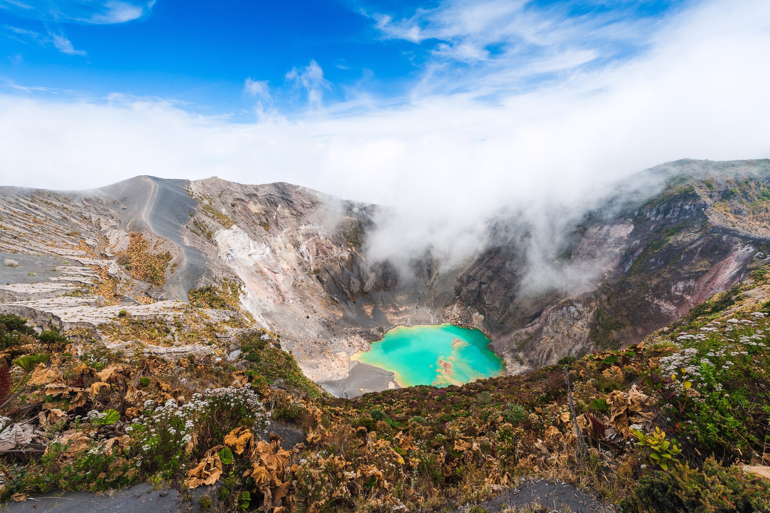
Irazu Volcano similarly makes up its tallest volcano.
The origin of its name remains unclear today, with some sources claiming it refers to a Native American village that once stood on the mountain, Iztaru. Other sources, though, claim the volcano’s name comes from the local words “ara” and “tzu”, meaning “point” and “thunder”, respectively. Irazu Volcano also has the nickname of El Coloso, meaning “The Colossus” from the catastrophes that result from its eruptions.
Its last eruption took place on December 8, 1994, and thankfully lasted only one day. That said, even that small eruption triggered volcanic mudflows that devastated the lowlands below. The volcano stands an estimated 3.43 km tall, enough for people to see both the Pacific and Atlantic Oceans from its peak. It’s also made the volcano’s peak suitable for several radio antennas servicing various radio and TV stations in San Jose.
Lake Arenal makes up the country’s biggest lake.
It takes its name from the town of Arenal, which once stood on the lake’s former northern shore. The lake grew in size following the construction of the Arenal Dam in 1979, forcing the relocation of the town’s people.
The government subsidized the relocation, even building a new town for them further north, named Nuevo Arenal. Much like its predecessor, Nuevo Arenal stands on the lake’s new northern shore.
Today, Lake Arenal covers an area of 85 km², with an average depth of 45 meters. Arenal Dam itself stands on the lake’s eastern shore, and currently provides an estimated 17% of Costa Rica’s electrical needs.
